Categories
Flights General Aviation Henstridge Routes Somerset weather

Being on schedule + Short flight = Longer lunch

According to the forecast a day or so before our planned flight, the weather, yet again, seemed to be conspiring against us. However, we woke up to a lovely sunny day which seemed to improve the further south you got. Luckily we’d planned to go south!

It seemed daft to drive an hour north for a 30 minute flight south as it would have taken about the same time if we’d just got in the car and headed straight there from home. But of course, the whole point was the flight itself; meeting Will’s parents for lunch was the added bonus. And unlike our last attempt, we actually got there in plenty of time and had a good couple of hours with them before heading back.

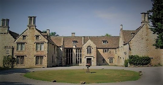
Since our flight to Popham, Will’s parents had moved house so the flight this time was to Henstridge Airfield in Somerset. Visibility en-route was perfect with a cloud base of 4,700 ft, and our route skirted Bristol Airport before going over the former RAF Hullavington (now a technology campus for Dyson UK) and past Chavenage House (otherwise known as Poldark’s home of ‘Trenwith’).

When we reached Henstridge, Will decided to take the opportunity for a touch-and-go. That was a first for me. We were then second in the queue for the landing and ended up going about 10 miles wide over Compton Abbas to follow the first plane in.

Henstridge Airfield is privately owned so of course, up to a point, they can make their own rules, but I found the list of rules regarding Covid precautions a little strict when most places were becoming more relaxed.

Again due to Covid restrictions, the cafe was limited to hot drinks from a self-service machine and some ready-plated cakes for sale. Fortunately we’d booked lunch at a local pub otherwise I would have been really disappointed.

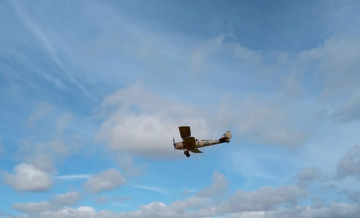
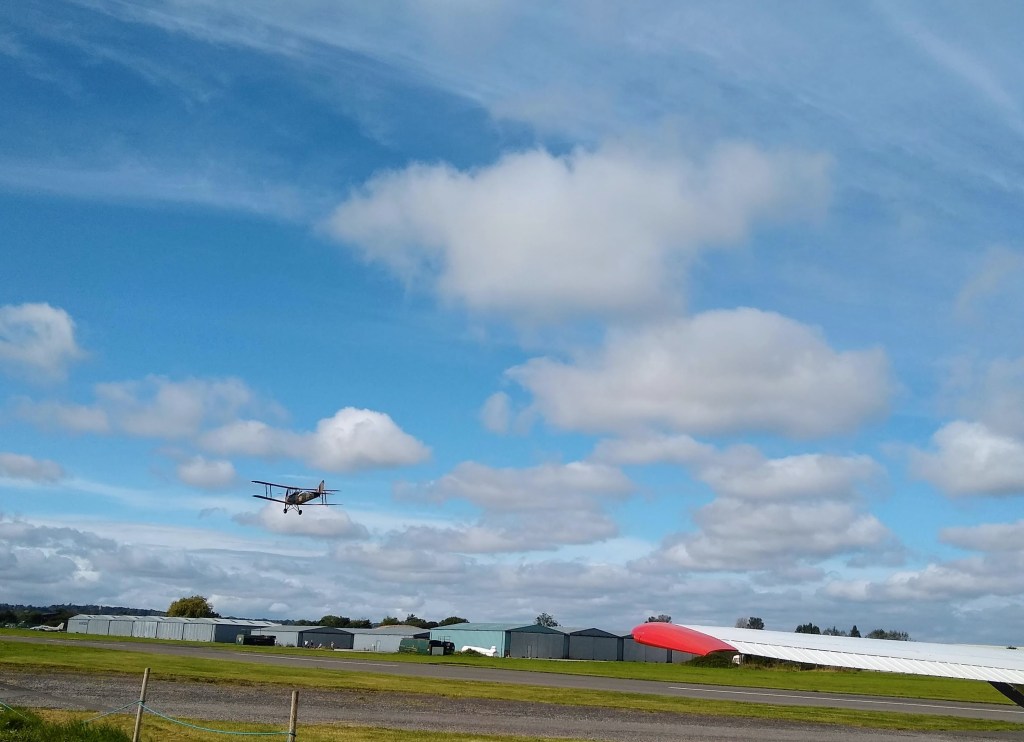
The museum was closed too, although we were excited to hear a warning over the radio to “look out for the Tiger Moth to the right of the runway.” The Tiger Moth had attracted a small crowd and we were lucky enough to see it take off and do a few circuits.

Lunch was at The Virginia Ash, just 5 minutes drive from the airfield. It was our waitress’s first day there but she made a cracking job of it and we had a lovely couple of hours enjoying our Sunday Roast and putting the world to rights. It would have been nice to have had a glass of wine to go with it but that, of course, had to wait until we got home.

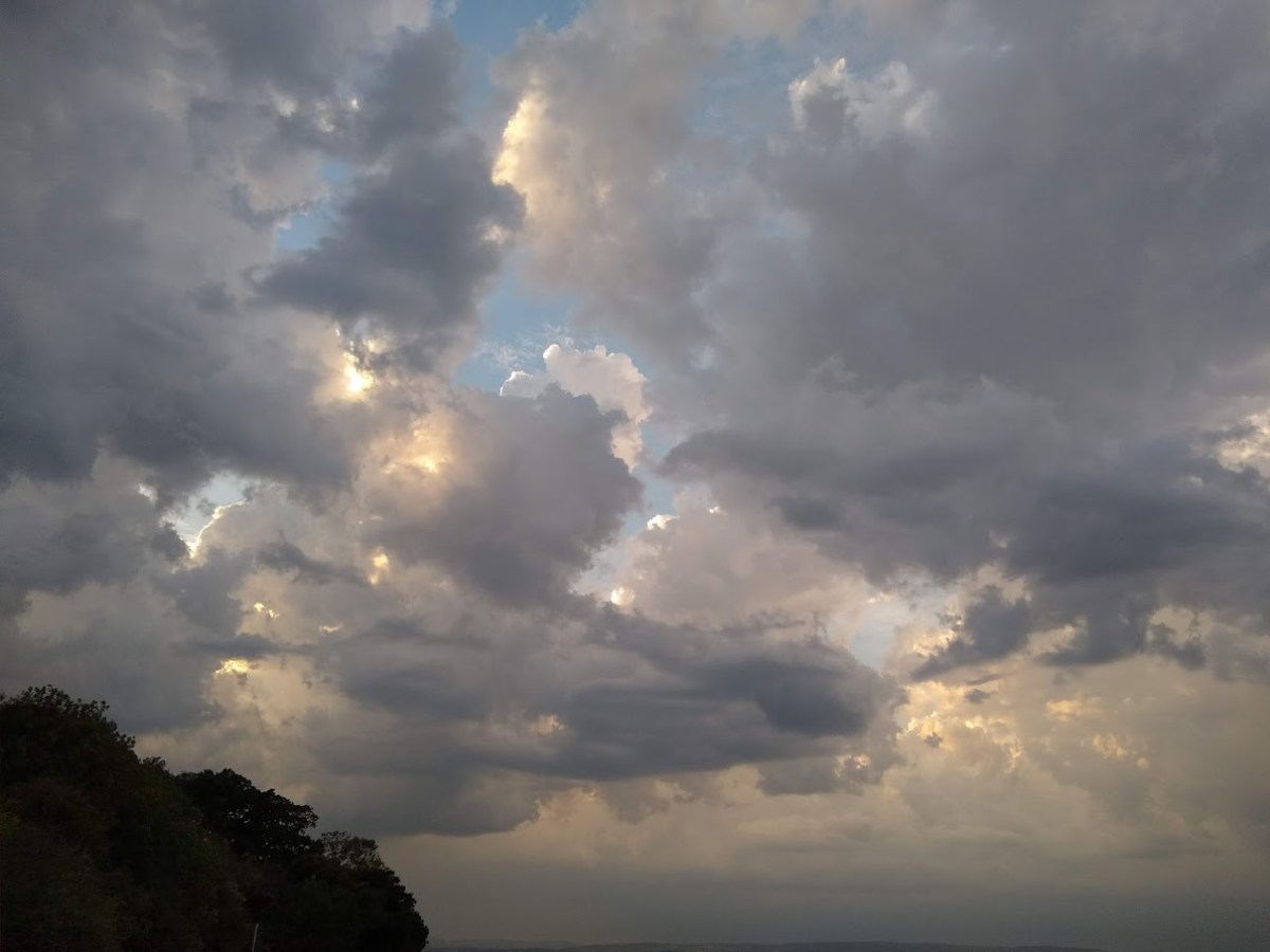
It had started to drizzle when we came out of the pub so we decided to head straight back to the airfield and set off for home. As we were saying our goodbyes, the guy in charge came out and advised us that the weather was coming in and that we should go – we weren’t sure if he just wanted to get rid of us so he could go home, but decided to give him the benefit of the doubt that he was being helpful!

Not exactly sure where this is, but it’s around Melksham Without and Pie Corner (great names!). Somewhere in Wiltshire anyway.

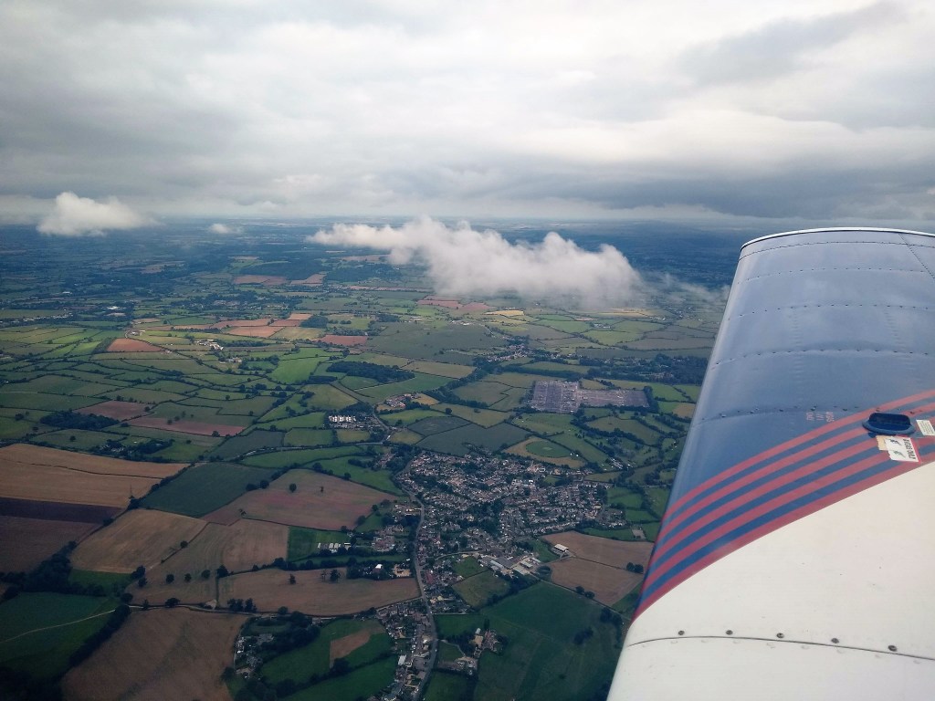
As we headed north, the weather deteriorated and we had to fly back at a lower altitude, at some points looking for holes in the clouds which we could fly through.

By the time we pulled up at home, it was dark, it was rainy and it was definitely not flying weather. The Henstridge man had been spot-on!

Categories
General Aviation weather

The calm before the storm

Whoever booked Charlie out today has been blessed.  The weather has been absolutely perfect for flying.  What a change from the rest of the week which has been grey, miserable, wet and generally rubbish (putting it politely)!  As for last Sunday, according to all weather forecasts, the devil of all storms was to come on that day, and when had we booked Charlie out?  Sunday of course! 

Restricted bookings had been lifted so we’d booked Charlie for the whole day with the intention of going to Welshpool, but that was before we saw the weather forecast. By the Saturday afternoon, we knew we’d have to change plans.  It didn’t bode well – low cloud, low visibility, heavy rain and gusts averaging 40mph were all on the cards.

Early on the Sunday morning we were up, scanning the day’s weather forecast, the local Meteorological Aerodrome Report (METAR) and the Terminal Aerodrome Forecast (TAF) just in case anything had changed.  Having done that, the choice was between driving to the airport and making a decision when we got there, or cancelling altogether and mooching around the house wondering if we should have gone after all.  After a quick breakfast, we were in the car and on the motorway. 

The weather forecast, once we got to the airport, hadn’t changed much but we realised that as long as we were back on the ground by midday, we’d avoid what was to come.  By 10.30am the wheels were up and we were heading east, in the opposite direction of the weather front.

Cotswold Airport (formerly RAF Kemble)

Our decision to go up was well justified.  We could see for miles, cloud base was high, there was very little wind and the skies were unusually quiet of traffic – the forecast had obviously put a lot of people off.

An hour later we were back on the ground.  We pushed Charlie back into the hangar, finished the paperwork and got in the car to head back home.  Ten minutes later the heavens opened.  The predicted weather had arrived…..

Categories
Radio

Under Pressure

It all started when I looked out of the study window and commented on the clouds scudding across the sky (what a great word – scudding!) I saw that look on Will’s face which told me that: a) we were about to embark on a weather-related discussion; and b) he was tearing his hair out staring at the computer screen and this was a welcome excuse to focus on something a lot more enjoyable than work.

From the weather outside, the obvious conversation would have been about clouds, precipitation or gusting wind but it wasn’t. It was about air pressure and how it’s used as a measure to indicate the altitude of the aircraft. When taking off and passing through different zones, the air pressure is given over the radio so that the altimeter can be corrected to the local setting. Set it wrong, and you could end up higher or lower than you, and air traffic control, think you are (gulp!)

There are two settings used for light aircraft, abbreviated to QNH (altitude above sea level) and QFE (height above ground level). Later that day – as I often come back hours later to mull these things over – I realised that I’d have to find some way of remembering which was which. I subsequently found that my guess of “Nautical Height” was correct. The other is “Field Elevation” (not “From Earth”!) I couldn’t think of anything relevant for Q, but then discovered that it’s a throwback to radiotelegraphy when three letter codes were developed, all starting with Q, to save time and avoid confusion. It’s certainly quicker to say QFE than something like “This is what you need to set on the subscale of your altimeter so that the instrument would indicate its height above the reference elevation being used”  (the reference elevation being used generally meaning the airfield), or QNH rather than “This is what you should set on the subscale of your altimeter so that the instrument would indicate its elevation if your aircraft were on the ground at this station”

Will started to explain that commercial airlines and other aircraft that fly at those sort of levels, use a different setting but when he saw the faint look of bewilderment on my face, he realised that that would have to wait for another day.

—————————————————————————-

My illustration to remind me what isobars tell us and the effects of air pressure
A bit of fun while trying to remember the effects of air pressure and what isobars tell us